FREE Download: Real Farm Map Examples
These aren’t mockups — they’re real maps from real farms that show exactly what you can expect.
Trusted by farmers to map all types of farms in Australia 🇦🇺 | New Zealand 🇳🇿 | USA 🇺🇸

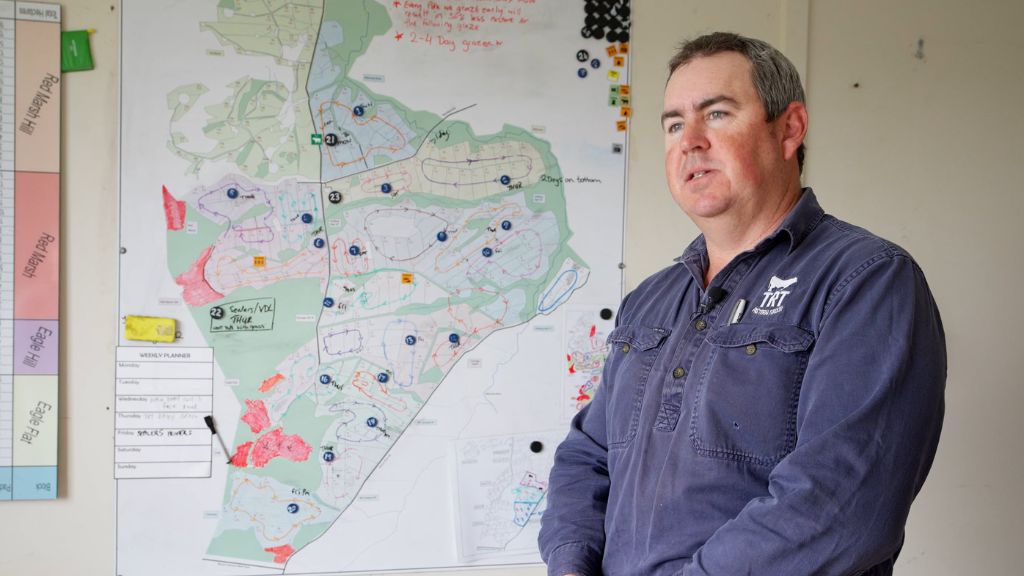
A WHITEBOARD MAP streamlines planning & communication — shifting knowledge from your head to a shared visual that everyone can access anytime.

Avoid costly mix-ups and frustration with TEAR-OFF MAP NOTEPADS that keep everyone aligned about what needs to be done where.

SUPER ACCURATE DIGITAL MAPS mean better budgeting and more savings, and meet the high standard needed for compliance and property selling.
I couldn’t imagine operating a farm without a map like this now – I don’t know what we would do without it!
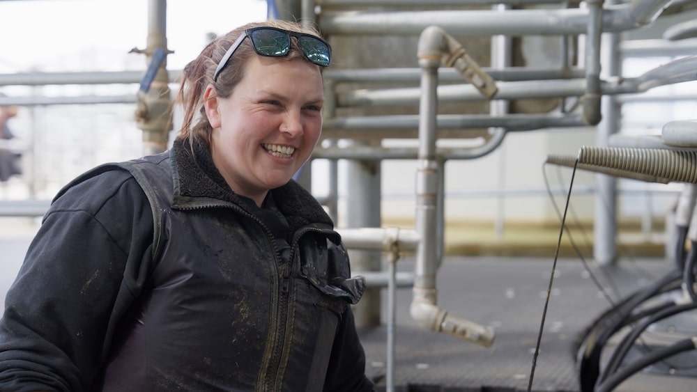
The whiteboards and maps have really streamlined our operations, especially when managing multiple properties.

With over 25 years of expertise and a legacy spanning six generations in agriculture, Farm Mapping Services brings proven mapping expertise to support farmers across Australia, New Zealand and the USA.
Every map is crafted by highly skilled mappers who work closely with you to capture the unique details of your property. From paddocks to irrigation, hazards to infrastructure, we deliver precision you can rely on.
When you need experience and accuracy, Farm Mapping Services leads the way.


| 01 |
High-Quality Magnetic Whiteboard
Keep everyone in sync with durable, easy to use whiteboards, customized with your farm’s map and specific data.
|
| 02 |
Tear-off Map Notepads
Spend less time clarifying instructions – just scribble directions directly on your map before handing it to staff and contractors.
|
| 03 |
Data-Specific Digital Maps
Simplify planning and decision-making with digital maps, each focusing on a single feature like irrigation, utilities and hazards.
|
| 04 |
Software-ready map file
Digital map in Shapefile format, compatible with Agriwebb, Mobble, Agworld and other farm management software.
|
Keep everyone in sync with durable, easy to use whiteboards, customised with your farm’s map and specific data.
Spend less time clarifying instructions – just scribble directions directly on your map before handing it to staff and contractors.
Simplify planning and decision-making with digital maps, each focusing on a single feature like irrigation, utilities and hazards.
Digital map in Shapefile format, compatible with Agriwebb, Mobble, Agworld and other farm management software.
Got something particular in mind? We can create a custom package tailored to your needs.
The new fella said the map was just unbelievable – he didn’t have to ring us every two hours asking, “Where do I go now?”
“The whiteboards and maps have really streamlined our operations, especially when managing multiple properties.”
“The new fella said the map was just unbelievable. He didn’t have to ring us every two hours asking, ‘Where do I go now?’ “
I don’t have to text workers where cows are going. I just say, “Well, you get cows and just check the board”. It’s just so easy to use!

Start the day around the whiteboard, ensuring everyone knows what tasks to tackle and where.

Hand map-based notes to staff or contractors, showing exactly where tasks need to be completed.

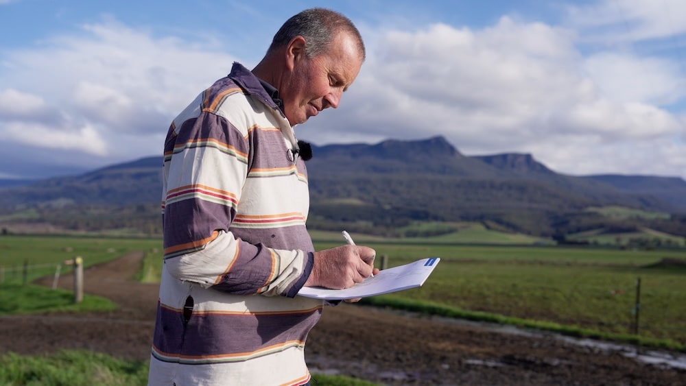
Track paddock rotations and plan rest periods to maximise pasture regrowth and carrying capacity.

Direct staff to the whiteboard instead of fielding calls, freeing managers to focus on high-priority work.

Mark paddocks for fertilising, and highlight weed problems, water leaks or fencing repairs for a smooth workflow.

Use tear-off map notepads for quick updates, shifting priorities, brainstorming ideas, or planning effectively on the go.
We'll use your contact information to send you a quote and our newsletter. You can easily unsubscribe at any time. We may use your email for targeted digital advertising, but we guarantee we won't sell your information to third parties.
We'll use your contact information to send you a quote and our newsletter. You can easily unsubscribe at any time. We may use your email for targeted digital advertising, but we guarantee we won't sell your information to third parties.
With over 25 years of expertise and a legacy spanning six generations in agriculture, Farm Mapping Services brings proven mapping expertise to support farmers across Australia, New Zealand and the USA.
We specialise in creating highly accurate, practical maps tailored to the unique needs of agricultural operations. Our deep understanding of farming ensures every map is crafted with precision and purpose.
From improving communication to boosting productivity, our maps help simplify farm management. Whether you’re running a dairy, crop, or mixed farm, we understand the land like you do.